
A storm that has already drowned parts of Florida is about to become every Thanksgiving traveller’s problem. The same low-pressure system that dumped more than 16 inches of rain on eastern Florida this week is charging up the Atlantic coast, bringing soaking rain, gusty winds and coastal flooding from Jacksonville to Boston.
The East Coast storm Thanksgiving travel threat is real whether or not the system ever earns a name. The National Hurricane Center is watching it for possible development this weekend — if it organises, it would be called Kyle — but the name does not change the impacts. AAA projects 81.5 million Americans will travel for Thanksgiving this year.
Florida’s flood emergency: the numbers behind the storm
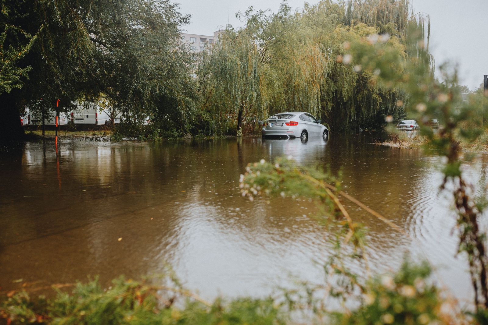
Eastern Florida has endured days of relentless, tropical-moisture rain. More than 16 inches has fallen on parts of the Atlantic coast this week, flooding homes and forcing dozens of water rescues, according to CNN.
Fort Lauderdale set a daily record of 4.18 inches of rain on Wednesday, November 18, breaking a mark that had stood since 1959. The city has had almost 15 inches of rain in November, and 73.35 inches this year — more than 23 inches above normal.
The National Weather Service’s Weather Prediction Center has placed the coast from Cape Canaveral to Daytona Beach under a Level 4 of 4 HIGH risk of excessive rainfall through Friday night. High-risk flood days are rare — fewer than 4 percent of days a year — yet account for more than 80 percent of flood damage and 36 percent of flood deaths, according to the centre. Another 3 to 6 inches of rain is likely on the Florida coast from Friday into Saturday.
What the storm is and where it is heading
The system began as a broad area of low pressure just off Florida’s central east coast. Now it is organising into a coastal low that will slide off the Florida coast on Saturday and track north, near or just offshore of the Southeast coast, through the weekend.
Meteorologist Matt Lanza, writing in his Substack The Eyewall, summed it up: “We’re going to get basically a potent little nor’easter out of this as the mess comes northward.”
Forecast models still disagree on the storm’s exact track and timing, so confidence is lower than normal. But the broad picture is consistent: rain spreads north along the coast through the weekend, reaching the mid-Atlantic on Sunday and New England by Sunday night into Monday. AccuWeather forecasts 1 to 4 inches of rain from north-eastern Florida to south-eastern New England through Monday, November 23, with 4 to 8 inches over the Outer Banks, and a 1- to 3-foot storm surge along much of the Atlantic coast.
The day-by-day forecast: Saturday, Sunday and Monday
Saturday, November 21: Rain and gusty winds expand into coastal Georgia and the Carolinas, with rain possible as far inland as Atlanta. Expect airport delays and flooded roads from Jacksonville to Charleston, especially near the coast. The Weather Prediction Center has a Level 2 of 4 flash flood threat from north-eastern Florida into coastal South Carolina. Saturday is the best travel day in the Northeast.
Sunday, November 22: Travel in the mid-Atlantic and Northeast goes downhill as rain spreads northward. Washington, D.C.’s airports could see rain from Sunday morning through the afternoon. Flights from Philadelphia’s and New York’s airports should avoid weather issues on Sunday morning, but rain and gusty winds could worsen conditions in the afternoon. Drivers could face slowdowns along Interstate 95 from Virginia to New York City. Rain will reach New England by late Sunday afternoon or evening, including Boston, Hartford and Providence, and ponding on roads is likely.
Monday, November 23: Rain exits New England early in the morning, with gusty winds lingering through the day. Lingering delays from Sunday are still possible at the major Northeast hubs.
How bad will the wind and coastal flooding get?
AccuWeather forecasts gusts of 40 to 60 miles per hour along the coast of South Carolina and into part of central North Carolina and south-eastern Virginia, and along the Atlantic shoreline of Delaware, Maryland and New Jersey this weekend. A zone with 60- to 80-mph winds is forecast on the North Carolina Outer Banks. Farther north, gusts of 40 to 60 mph are forecast for Long Island and south-eastern New England from Sunday to Monday.
The National Weather Service in New York says the region could see 1 to 2 inches of rain late Sunday into early next week, with peak gusts of 30 to 40 mph.
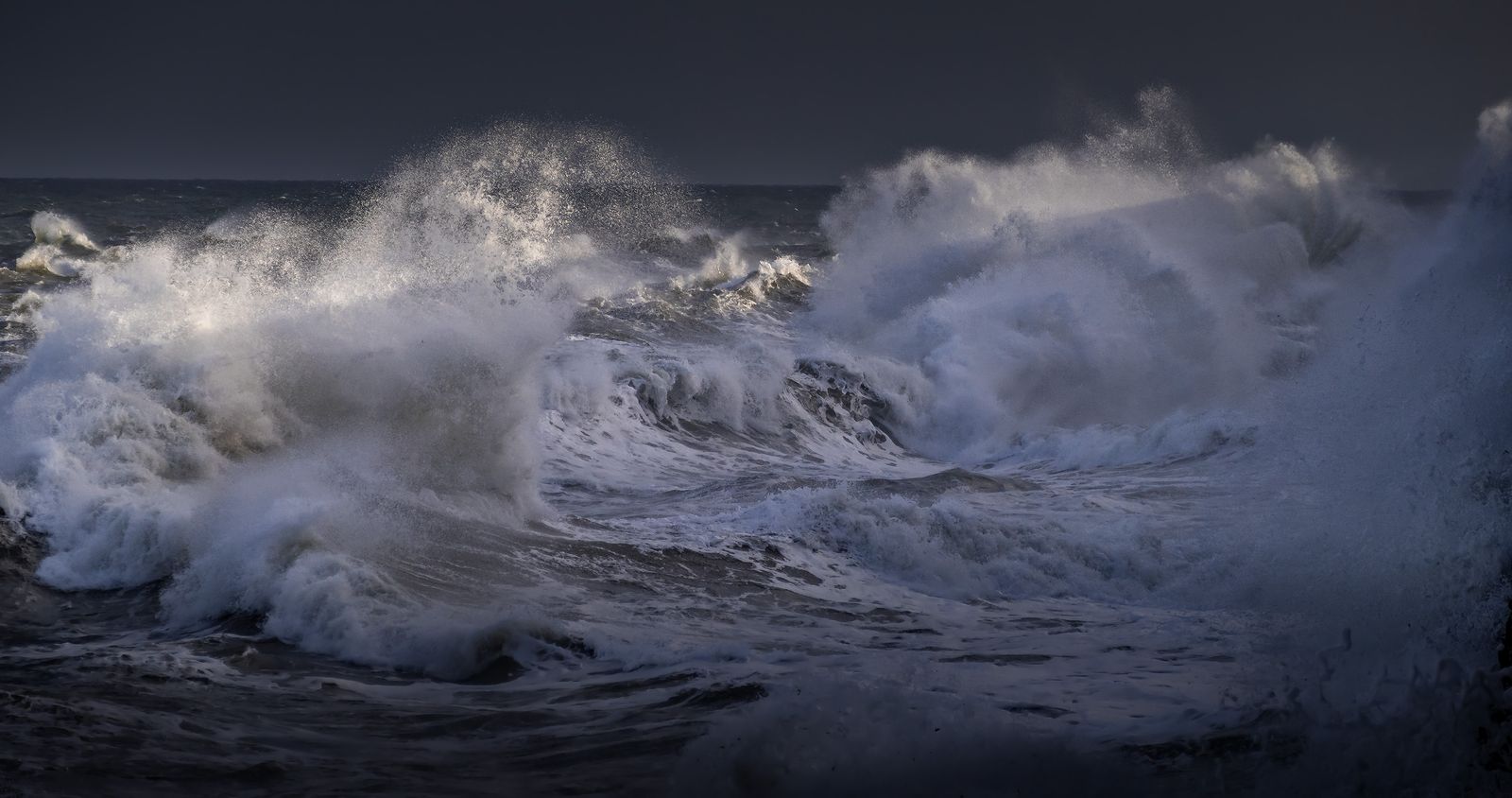
The National Hurricane Center warns the system will produce strong gusty winds, dangerous surf, rip currents and coastal flooding along the Southeast and mid-Atlantic coasts into early next week, whether or not it develops. Stay out of the water and cancel weekend beach plans along the Southeast coast.
Thanksgiving travel: airports, roads and the I-95 corridor
For travellers, the practical message is simple: Saturday is the day to move, Sunday is the day to expect trouble, and Monday is the day to check before you go. The Weather Channel calls Saturday the better travel day in the Northeast.
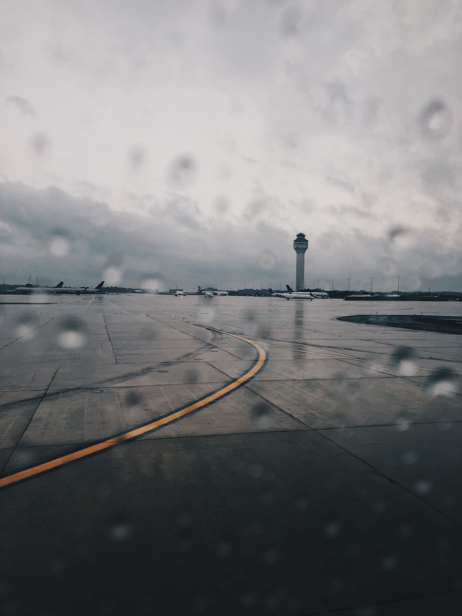
Anyone driving I-95 or flying through Philadelphia, Newark, New York or Boston should check the latest forecast before leaving and expect the trip to take longer than usual. If you are flying, check your flight status before leaving for the airport and turn on airline notifications.
If your plans are flexible, travelling on Saturday instead of Sunday is the single best move you can make this weekend.
Could it become Tropical Storm Kyle?
The National Hurricane Center said in its Thursday afternoon outlook that a low is expected to form near the north-western Bahamas late on Friday, November 20, and could acquire subtropical or tropical characteristics as it moves north near the south-eastern United States coast. The centre put the chance of development at 30 percent within 48 hours and 60 percent within seven days, though by Friday the odds were trending down.
If it does develop and reach tropical-storm strength, with winds of at least 40 mph, it would be named Kyle — the 11th named storm of the 2026 Atlantic hurricane season, which runs until November 30. But the name matters far less than the impacts: strong winds, dangerous surf and coastal flooding are expected whether or not the system becomes Kyle.
Another storm for Thanksgiving Day?
Just as this weekend’s storm clears, forecasters are watching the next one. Computer models increasingly suggest more major storms are possible before and during Thanksgiving, on both coasts. In the East, a storm is expected to develop in the Southeast on Wednesday, November 25, with a potential major storm in the Northeast on Thanksgiving Day itself — Thursday, November 26 — bringing rain, winds and possibly wet snow in the Appalachians.
The Thanksgiving Day storm could affect more than 20 states from Florida to Maine. It could even be a problem for the Macy’s Thanksgiving Day Parade in New York City: the parade’s giant balloons cannot fly if sustained winds reach 23 mph or gusts reach 34 mph. Thanksgiving week may bring not one storm, but two.
How to stay safe in flooding rain and coastal storms
Flooding kills more people in the United States than any other weather hazard except heat, and most flood deaths happen in vehicles. Never drive through flooded roads: just 6 inches of fast-moving water can knock an adult off their feet, and 12 inches can carry away a small car. Turn around, don’t drown — even on roads you drive every day, because floodwater can hide a washed-out road surface.
Do not walk through floodwater either: it can hide debris, downed power lines and open drains. If you are caught in a flash flood, get to higher ground immediately and call for help.
Coastal residents should secure outdoor furniture, prepare for power outages if gusts reach 60 mph or more, and keep flashlights, batteries and drinking water on hand. Travellers should keep monitoring the National Weather Service and the National Hurricane Center: warnings can be issued at short notice.
What happens next
The storm will rake up the coast through Monday, November 23, clearing New England by Monday afternoon and leaving a brief calm before the next system arrives around Thanksgiving.
If you are travelling along the East Coast this weekend, go on Saturday if you can and expect delays on Sunday. This storm does not need a name to be dangerous — the rain, the wind and the surf are already here.
This is a developing story — check the National Weather Service and the National Hurricane Center for the latest updates before you travel.