

California is facing its biggest storm of the autumn so far, and Florida is flooding at the same time. The first major atmospheric river of the season began pushing ashore on the West Coast on Tuesday night, November 17, and forecasters say it will keep hammering California through Friday, November 20. It brings feet of snow in the Sierra Nevada, flooding rain along the coast, winds gusting to 70 mph in the Bay Area hills, and even a small tornado threat inland.
The National Weather Service summed it up plainly: “Another Pacific storm will bring heavy to excessive rainfall and possible flooding for coastal central and southern California Wednesday, while heavy mountain snow is expected across the Sierra Nevada mountains.” Around 30 million people along the California coast are under a flash flood threat, according to FOX Weather. Meanwhile, parts of South Florida have already had more than a foot of rain, and Broward County has declared a local state of emergency.
What an atmospheric river is
An atmospheric river is a long, narrow ribbon of deep tropical moisture flowing in from the Pacific Ocean. Forecasters sometimes call it a fire hose in the sky. When that plume hits California’s mountains, the moist air is forced upward, cools, and wrings itself out as heavy rain at lower elevations and heavy snow in the mountains.
This one is the first major atmospheric river of the season. It follows a series of storms that soaked the Pacific Northwest last week, but this system is aimed squarely at California. It arrived after a prolonged atmospheric river pattern set up over the region nearly two weeks ago, and the pattern shows no sign of letting up. Forecasters also note that a developing El Niño is boosting the odds of a wet winter for California.
Sierra Nevada: up to 4 feet of snow
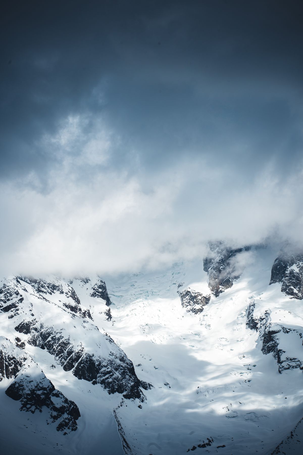
The mountains will take the heaviest hit. A winter storm warning is in effect for most of the Sierra Nevada from Wednesday morning through Friday morning, and the National Weather Service office in Reno is calling this event a major risk, level four out of five.
Forecasters expect 2 to 4 feet of snow above 7,000 feet, with more than 5 feet possible at the highest peaks. Around lake level, 1 to 2 feet is expected, and at Donner Pass the forecast is 2.5 to 5 feet. Snow levels will fall to around 4,000 feet.
At times, snowfall rates could exceed 2 inches per hour, reaching 3 inches an hour in the first heavy round around midday on Wednesday. A second burst is expected on Thursday afternoon and evening, with thundersnow possible around Bear Valley and Kirkwood. Ridgetop wind gusts could exceed 100 mph, while gusts of around 40 mph are expected in Truckee and Lake Tahoe communities. The mix of heavy snow and strong wind means whiteout conditions are possible across the Sierra on Wednesday afternoon.
Travel is the biggest worry. The National Weather Service says travel in the Sierra could become very difficult to impossible from Tuesday night through early Friday, with snow-covered roads, reduced visibility and chain controls possible. Interstate 80 over Donner Pass is the route most likely to be hit: last week’s storms already forced a closure there after nearly a foot of snow fell. The weather service is advising against mountain travel until around midday Friday.
The storm could make this the snowiest November at Lake Tahoe since 2010, with 2 to 5 feet expected at the ski resorts between Wednesday and early Friday. Palisades Tahoe has pushed its opening to Saturday, November 21.
Flooding rain for coastal California
While the mountains get snow, the lowlands get rain, and plenty of it. The atmospheric river is feeding downpours that could fall at more than an inch per hour. The Weather Prediction Center has issued a Level 2 flash flood risk for the Bay Area on Wednesday, where 2 to 3 inches of rain is expected. Central and southern California face an increased risk of flash flooding on Wednesday and Thursday respectively.
The storm began with a squall line of thunderstorms slamming into the West Coast on Tuesday night, reaching the Bay Area shortly after sunrise on Wednesday, in the middle of the morning commute. A severe thunderstorm warning was issued for San Mateo County on Wednesday afternoon, and downed trees were reported in Half Moon Bay, according to CAL FIRE CZU.
Wind is part of the threat too. A high wind warning is in effect for the East Bay hills, where gusts could reach 70 mph, especially around Altamont Pass. Wind advisories are also in effect in the Sacramento Valley and along the Coastal Range from the Oregon border to near Point Arena.
There is even a small tornado risk. In California’s Central Valley, strong to severe thunderstorms could take shape on Thursday afternoon, and forecasters have flagged an isolated tornado threat there. The Storm Prediction Center’s Day 1 outlook for Wednesday said no severe thunderstorm areas were forecast across the contiguous United States through the night.
Florida: Broward County emergency after 14 inches of rain
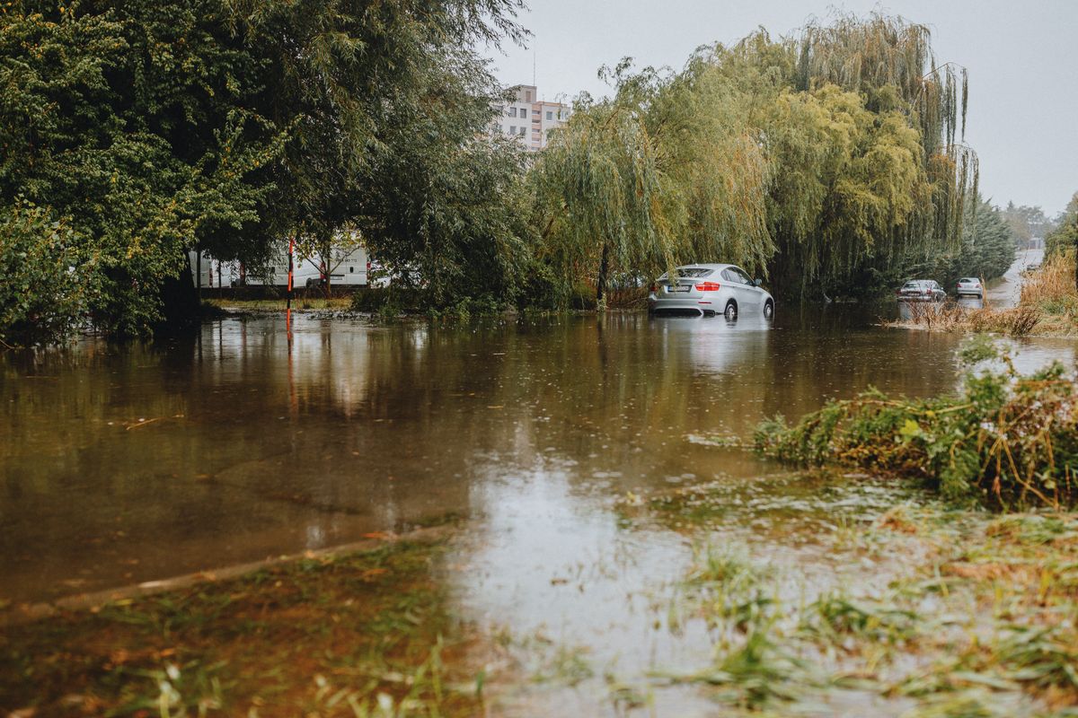
While California deals with its atmospheric river, Florida’s Atlantic coast is in the middle of its own flood emergency. Broward County and the city of Hollywood have declared local states of emergency after torrential rain flooded large parts of South Florida.
Hollywood received 9 inches of rain between 11 p.m. Tuesday and 4 a.m. Wednesday, and parts of Hollywood and Dania Beach topped 14 inches in just a few hours. Police in Hollywood took more than 300 calls for service overnight. Parts of Fort Lauderdale recorded more than a foot of rain in just over 24 hours, and Fort Lauderdale-Hollywood International Airport set a daily rainfall record of 5.72 inches. A ground stop was in effect at the airport until 9:45 a.m. on Wednesday.
Broward County Public Schools and several colleges in South Florida cancelled classes on Wednesday, and county government offices are closed. Hollywood’s mayor, Josh Levy, declared a state of emergency and told residents to shelter in place, after Temple Sinai of Hollywood sustained structural damage in the heavy rain. Broward County Administrator Monica Cepero signed the county’s local state of emergency effective at 7 a.m. Wednesday.
The rain is not over. The National Weather Service in Miami has a flood watch in effect through Thursday evening for southeast Florida, including Broward, Miami-Dade and Palm Beach counties. Several more rounds of storms may produce 2 to 4 inches of rain through late Thursday, with isolated amounts over 10 inches possible. The Daytona Beach area south through the Space and Treasure coasts is under a Level 3 out of 4 flash flood risk on Wednesday.
The flooding is also compounding an older problem further north. In Rockledge, in Brevard County, the heaviest rain is adding to flooding from the St. Johns River that has lingered for more than two weeks. Flash flooding is ongoing in parts of Brevard County, which sits in the bull’s-eye of Wednesday’s flash flood threat. In the Florida Keys, a flood warning is in effect for the Lower Keys, including Key West, after 2 to 4 inches of rain fell, with another 1 to 2 inches possible.
Alaska blizzard and High Plains winds
In Alaska, blizzard conditions are expected on St. Lawrence Island through 3 p.m. AKST on Thursday, with 2 to 5 inches of snow, gusts up to 70 mph and visibility potentially below a quarter of a mile.
Across the central United States, strong winds are the main hazard. High wind warnings have been reported across parts of Colorado, Wyoming, South Dakota and Nebraska, and red flag warnings cover portions of the central High Plains, flagging a continuing fire-weather risk. In Wyoming, dangerous crosswinds gusting to 65 to 75 mph are expected along Interstate 80 between Cheyenne and Laramie and Interstate 25 between Chugwater and Wheatland.
How to stay safe this week
The advice from the National Weather Service is simple: never drive through floodwater. It takes only a few inches of fast-moving water to knock a person over, and around a foot of water can float a car. Most flood deaths happen in vehicles. Turn around, don’t drown.
If you are in California, avoid mountain travel until at least midday Friday, and check road conditions and chain requirements before any Sierra trip. If you must travel, carry warm clothing, food, water and a charged phone, and be ready for sudden closures. Along the coast, stay away from flooded roads and underpasses, and never walk through floodwater, which can hide open drains, debris and downed power lines.
In Florida, stay off flooded roads and keep clear of the St. Johns River and other waterways that are already running high. If floodwater enters your home, avoid contact with it and switch off electricity at the breaker if it is safe to do so. Keep phones charged, and follow instructions from local emergency managers.
What happens next
The California storm is expected to ease by Friday, but the pattern may not be finished. A weaker system could bring more snow to the Sierra on Sunday, and forecasters are watching for another atmospheric river before Thanksgiving, although its strength is uncertain. In Florida, the flood watch runs through Thursday evening, and more rounds of rain are expected before the pattern breaks. For now, the message is clear: this is a week for caution, not routine travel plans.