
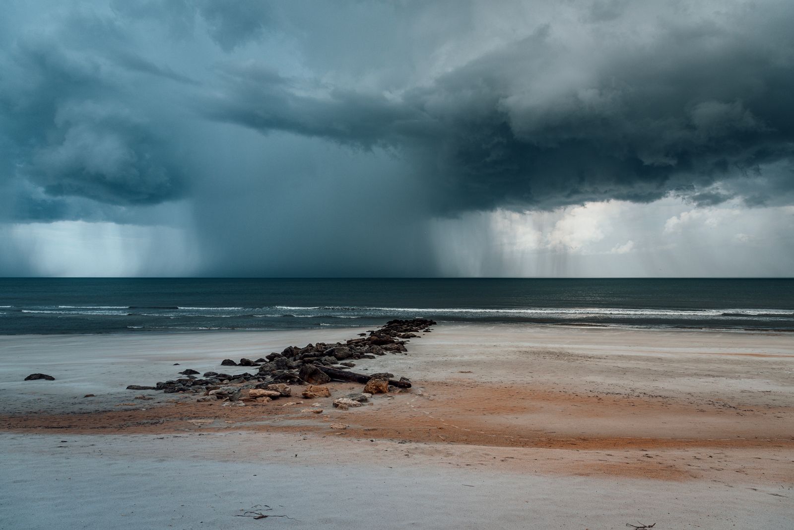
Millions of Americans are about to hit the road for Thanksgiving, and the weather is not cooperating. A powerful coastal storm is charging up the East Coast this weekend with flooding rain, damaging wind gusts and dangerous surf, and forecasters are now watching a second system that could arrive right on Thanksgiving Day. The good news is that the tropical threat is fading fast: the disturbance off Florida now has only a 10 percent chance of becoming Tropical Storm Kyle, down sharply from earlier odds. The bad news is that the storm does not need a name to cause serious problems.
Kyle Is Fading, but the Storm Is Not
On Friday, the National Hurricane Center gave the disturbance a 30 percent chance of developing within 48 hours and a 60 percent chance within seven days. By Saturday, November 21, those odds had collapsed to 10 percent. The disturbance sits a few hundred miles off northeastern Florida; had it organised, it would have become Kyle, the eleventh named storm of the 2026 Atlantic season.
But the Hurricane Center stressed the system will still bring gusty winds, dangerous surf, rip currents and coastal flooding to the Southeast and mid-Atlantic into early next week, plus heavy rain and a flash flood threat in the Carolinas. Florida, already soaked by days of heavy rain and significant flooding, faces more heavy rainfall on Saturday. According to AccuWeather, November 2026 is already Florida’s wettest November on record by a wide margin, and another 3 to 6 inches of rain or more was likely along the Florida coast from November 20 into November 21. The Storm Prediction Center also has a marginal severe thunderstorm risk for central and southern Florida on Saturday afternoon, with a brief tornado possible, and a separate marginal risk for western Oklahoma and southern Kansas, where a cold front could bring hail and gusty winds.
Where the Worst Weather Hits This Weekend
The storm’s strongest punch is aimed at the Carolina coast. On Saturday, the Carolina coastline is expected to see heavy rain and wind gusts of 40 mph or greater, spreading north through Sunday, November 22. AccuWeather reports that coastal North Carolina could see gusts of 60 to 80 mph, strong enough to trigger power outages and coastal damage. A storm surge of 1 to 2 feet could affect coastal areas from eastern Florida through the Carolinas, and up to 3 feet over much of the Atlantic coast, according to AccuWeather.
AccuWeather expects a general 1 to 4 inches of rain from northeastern Florida to southeastern New England and part of southeastern Canada between Friday, November 20, and Monday, November 23, but the Outer Banks could see 4 to 8 inches. Forecasters warn of more flooding on North Carolina Highway 12 on Hatteras Island, already closed for long stretches after storms in September and October.
Farther north, the rain spreads along the Interstate 95 corridor on Sunday. The National Weather Service in Mount Holly, New Jersey, says confidence is increasing that a coastal low will affect New Jersey, eastern Pennsylvania and Delaware on Sunday into Monday. The National Weather Service in New York expects 1 to 2 inches of rain late Sunday into early next week, with gusts of 30 to 40 mph possible. The National Weather Service in Boston expects widespread heavy rain late Sunday into early Monday, with 1 to 3 inches from east of the Connecticut River to the I-95 corridor, and warns of brief flooding on poorly drained streets.
Winds will be strongest near the coast. AccuWeather forecasts gusts of 40 to 60 mph from the South Carolina coast through central North Carolina, southeastern Virginia and the Atlantic shoreline of Delmarva and New Jersey. Long Island and southeastern New England can expect gusts of 40 to 60 mph from Sunday into Monday, while Cape Cod, Nantucket and Martha’s Vineyard could see gusts of 60 to 80 mph. Gusts of 40 to 60 mph are also forecast for Nova Scotia and Newfoundland early next week.
A Second Storm for Thanksgiving Day
Just as the first storm clears out, a second one is taking shape, and it could be the bigger problem for Thanksgiving itself. The Weather Prediction Center said in its extended forecast discussion early on Saturday, November 21, that a dynamic system may bring heavy rainfall and strong winds to the East Coast in the middle to late part of next week, while possibly producing wintry weather over parts of the Appalachians and interior Northeast.
A disturbance over the Plains will amplify as it moves into the Midwest and Great Lakes, spawning a surface low that brings impacts to the East Coast through Thanksgiving Day. A frontal wave draped across Florida on Tuesday will begin to organise, and by Wednesday a mid-latitude cyclone will form and deepen as it tracks along the East Coast through Thanksgiving and into the weekend. Heavy rain showers will spread across the East Coast, and strong coastal winds could lead to beach erosion, rip currents and coastal flooding.
There is also a real chance of wintry weather. The Weather Prediction Center says cold air damming could support wintry precipitation in the Northern and Central Appalachians, and cold air wrapping around the back of the system may bring wintry conditions to the interior Northeast and New England on Thanksgiving and into the weekend. The National Weather Service in Boston warns of a more impactful nor’easter late Wednesday night into Thanksgiving, mainly rain but possibly some snow or ice at the onset inland, with strong coastal winds. Strong winds could coincide with very high astronomical tides, raising the risk of significant coastal flooding.
For the Washington, D.C., area, rain currently looks more likely than snow, with rain possible through Thanksgiving Day. But travellers heading into Pennsylvania, upstate New York and interior New England face a colder, more complicated picture. If the storm hugs the coastline, forecasters say interior parts of the Northeast could be dealing with a rare white Thanksgiving. The system is still several days away, though, and a small shift in its track could mean the difference between a cold rain, a wintry mix and accumulating snow.
The West Coast Is Not Quiet Either
The East Coast is not the only part of the country facing Thanksgiving week weather trouble. A series of Pacific storms will bring heavy rain, mountain snow and strong winds to Washington, Oregon and California. An approaching low will bring heavy rain and strong winds from northern California through the Pacific Northwest coast on Tuesday and Wednesday. The Climate Prediction Center highlights a moderate risk of heavy precipitation across northern California and southwestern Oregon around November 24 and 25, and heavy snowfall is possible in the northern Sierra Nevada and Klamath Mountains, creating hazardous driving conditions through mountain passes. Rain could also spread from the southern Plains into the Mississippi and Ohio valleys between November 23 and 25, as a strong El Nino helps drive an active southern storm track.
UK: Heavy Rain Warning for Devon and Cornwall
Across the Atlantic, the UK is facing its own weekend weather warning. The Met Office has issued a yellow warning for rain covering Cornwall, Devon, Plymouth and Torbay, in force from 6 AM on Sunday, November 22, until midnight. A slow-moving band of heavy rain will cross southwest England during Sunday, with 20 to 40 millimetres likely quite widely and 50 to 70 millimetres over higher ground. Some lower-lying parts of south Devon and south Cornwall could see 60 to 80 millimetres, and there is a chance of more than 100 millimetres over Dartmoor. The Met Office warns that flooding and transport disruption are possible, with a risk of power cuts and difficult driving conditions, and flood alerts are already active in the area. The Met Office says there is still some uncertainty about where the heaviest rain will fall, so residents should stay up to date with the forecast. Elsewhere, a widespread frost is expected on Saturday night.

Thanksgiving Travel: What to Do
With two storms bracketing the holiday and 81.5 million people on the move, a little planning goes a long way. Saturday is the best travel day in the Northeast this weekend, before the first storm’s rain arrives on Sunday. Tuesday and Wednesday are the busiest travel days, and the second storm begins to take shape then, so build extra time into plans and keep checking the forecast.
Never drive through water covering a road, even if it looks shallow. People near the coast should stay out of the surf while rip currents and dangerous waves are present, and be ready for possible power outages where winds reach 60 to 80 mph. Air travellers should check their flight status before heading to the airport, since storms in one region can delay flights across the country even where the local weather is clear.
The picture will sharpen in the next day or two as forecasters refine the track of the Thanksgiving Day system. For now, the message is simple: Kyle is fading, the weekend storm is real, and Thanksgiving Day itself is still very much in play.